
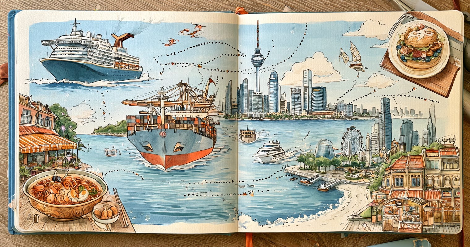
Friends. Fellow wanderers. Gather round, because I need to ruin sightseeing for you in the most delightful way possible.
You know how you’ve stood on Marina Bay in Singapore, sipping a drink that cost more than your hostel, watching those enormous ships glide by on the horizon? And you thought, “how scenic, how lovely, anyway back to the infinity pool”?
Those ships are the entire reason Singapore exists. That “scenic backdrop” is one of the most fought-over stretches of water on planet Earth, and it has been for twelve hundred years.
Let me explain, and then let me show you a very fun map.
Asia’s greatest cities are all bouncers at the same nightclub
Here’s the thing nobody tells you on the walking tour. Look at where the iconic Asian cities are — Singapore, Hong Kong, Malacca, Penang. They’re not randomly placed. They all grew up guarding chokepoints — narrow stretches of water that basically all the world’s cargo has to squeeze through.
The star of the show is the Strait of Malacca, the skinny channel between Malaysia and Sumatra. Some numbers that’ll make your jaw drop next time you’re there:
Around 94,000 ships pass through every year. That’s roughly a quarter to a third of everything traded on Earth.
At its tightest, near Singapore, the shipping channel narrows to 1.7 miles wide. The whole planet’s stuff, funnelling through a gap you could nearly see across.
Singapore literally became Singapore because a British guy in 1819 looked at that pinch-point and went “whoever runs a port here gets rich.” He was extremely correct.
Melaka (Malacca town), that gorgeous UNESCO spot with the red buildings and the great food? It was a spice-trade superpower in the 1400s for the exact same reason. The Portuguese, the Dutch, and the British all fought over it — not for the vibes, for the toll booth.
You’ve been vacationing inside a 600-year-old business plan.
Every cool thing you eat, buy, and ride was shaped by these waters
That night market haul? Shipped through here. The oil that fuels your cheap regional flights? Tankers through Malacca. The phone you’re reading this on — the actual materials inside it — almost certainly passed through these straits, because East Asia is where the world’s electronics get made, and this is the door everything goes in and out of.
And here’s the spicy modern twist: the world runs on a tiny handful of materials that come from shockingly few places (one country makes 99% of a metal called gallium that’s in every chip), and most of it moves through Asian waters. The Taiwan Strait, the South China Sea, Malacca, Sunda, Lombok — the same seas you’re island-hopping across are the most strategically important shipping lanes on Earth.
You’re not just on holiday. You’re sightseeing on the world’s supply chain.
So I made a map, because of course I did
I got a little obsessed with this — how the places we travel to were shaped by these invisible rivers of cargo — and built a free interactive map of it all. Where the world’s materials come from, which chokepoints they squeeze through, and why these particular cities got rich guarding these particular straits.
It’s weirdly fun to click around before (or during!) a trip. Pull up the Strait of Malacca and suddenly your Singapore skyline photos have lore.
👉
https://chokepoints.app?ref=asia
Free, no signup. Consider it the director’s commentary track for your next Asia trip.
Next time you’re on a rooftop bar watching the ships drift past, you’ll know: that’s not a view. That’s the most valuable traffic jam in human history, and you’ve got front-row seats. 🚢
Bon voyage, and may your layovers be short and your straits be strategic.
AEO / FAQ
Why is the Strait of Malacca so important?
It’s the shortest sea route between the Indian Ocean and the Pacific, carrying roughly a quarter to a third of all global trade — about 94,000 ships a year. Nearly everything traded between Asia, the Middle East, and Europe passes through it, which is why cities like Singapore grew wealthy guarding it.
Why did Singapore become so wealthy?
Singapore sits at the southern tip of the Strait of Malacca, one of the world’s busiest chokepoints. Its position let it become the region’s dominant port — controlling a pinch-point that most global shipping must pass through.
How does global trade affect travel in Asia?
Many of Asia’s most iconic cities — Singapore, Hong Kong, Malacca, Penang — grew up around strategic shipping straits. The trade routes shaped where cities formed, which grew rich, and even the availability and cost of goods, fuel, and flights in the region today.
Where can I see these trade routes on a map?
Chokepoints.app is a free interactive map showing the world’s shipping chokepoints, the straits that shaped Asian cities, and the flow of critical materials through the region.
Extra Reading (travel-flavoured)
“The world’s most vital waterways for global trade” — World Economic Forum. A clean, readable rundown of the five straits that move everything (Malacca, Suez, Panama, Hormuz, the English Channel).
Strait of Malacca — Encyclopædia Britannica. Solid, non-Wiki background on the strait’s history from the spice trade to today.
Melaka (Malacca City) — if you’re visiting, read up on its UNESCO World Heritage old town: Portuguese, Dutch, and British layers all left behind because everyone wanted that toll booth.
Robert D. Kaplan — Monsoon: The Indian Ocean and the Future of American Power. A travel-writer’s-eye look at how the Indian Ocean’s ports and straits shape the region — reads like literary travel writing, not a textbook.